AREA 01 · OPEN NOW
Kanto Area
Everything within reach of Tokyo: river boulders in Okutama, granite domes on the Yamanashi border, and the alpine valley climbers call Japan's Yosemite. Start with the map, then open the crag you are heading to.
3crags documented
1.5–3hfrom Shinjuku
Apr–Novmain season
関東の岩場
関東道中図 — KANTO MAP
Pick your crag
Three crags, all reachable from Tokyo. Tap a pin for its coordinates and the area guide.
壱Tap a pin for coordinates and the area guideDRAG TO PAN · +/− TO ZOOM
壱TRAIN ONLY · DAY TRIP
Mitake 御岳
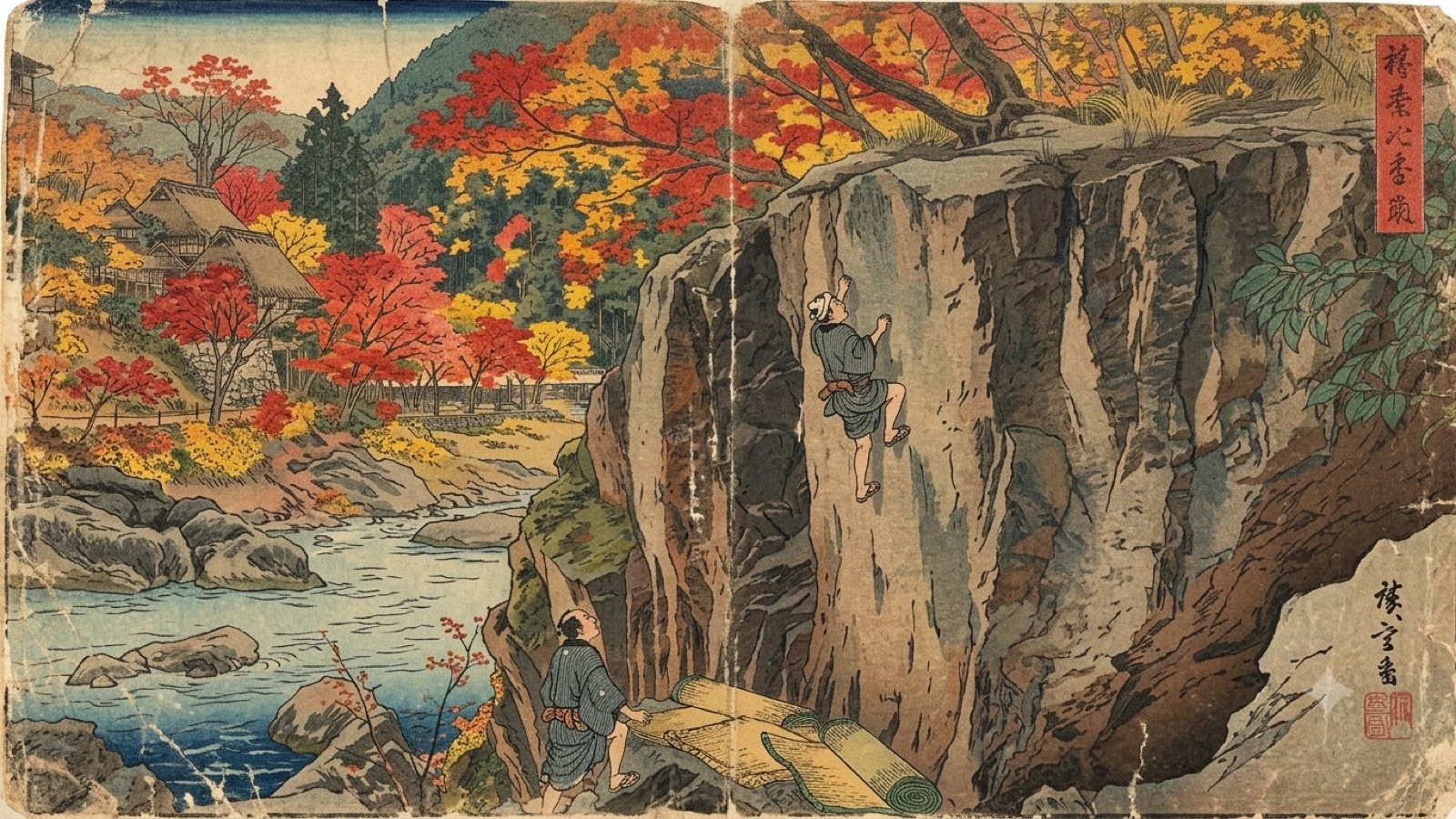
River bouldering in Okutama, reachable from central Tokyo on one train line. The easiest first day outdoors in Japan.
Open the guide →
弐CAR RECOMMENDED · 1–3 DAYS
Mizugaki 瑞牆
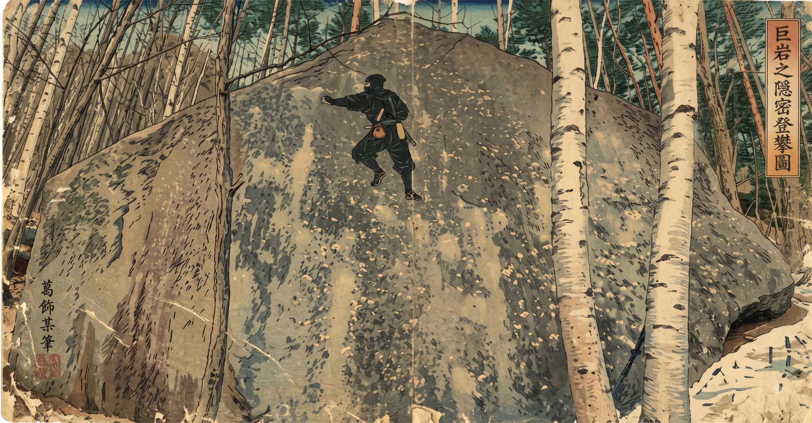
Forest-floor granite blocks and slabs under the spires of Mizugakiyama, on the Yamanashi side of the range.
Open the guide →
参CAR RECOMMENDED · 2–5 DAYS
Ogawayama 小川山
Japan's granite valley in Kawakami, Nagano — boulders, slabs and multi-pitch, all from one campground.
Open the guide →
Every Kanto crag has lost parking before. Use the designated lot or take the train.
Mountain shops, campgrounds and buses are cash-only, and phone reception drops in the valleys. Download maps in town.
Boulders are graded in kyu and dan. Check the converter before you pick a project.