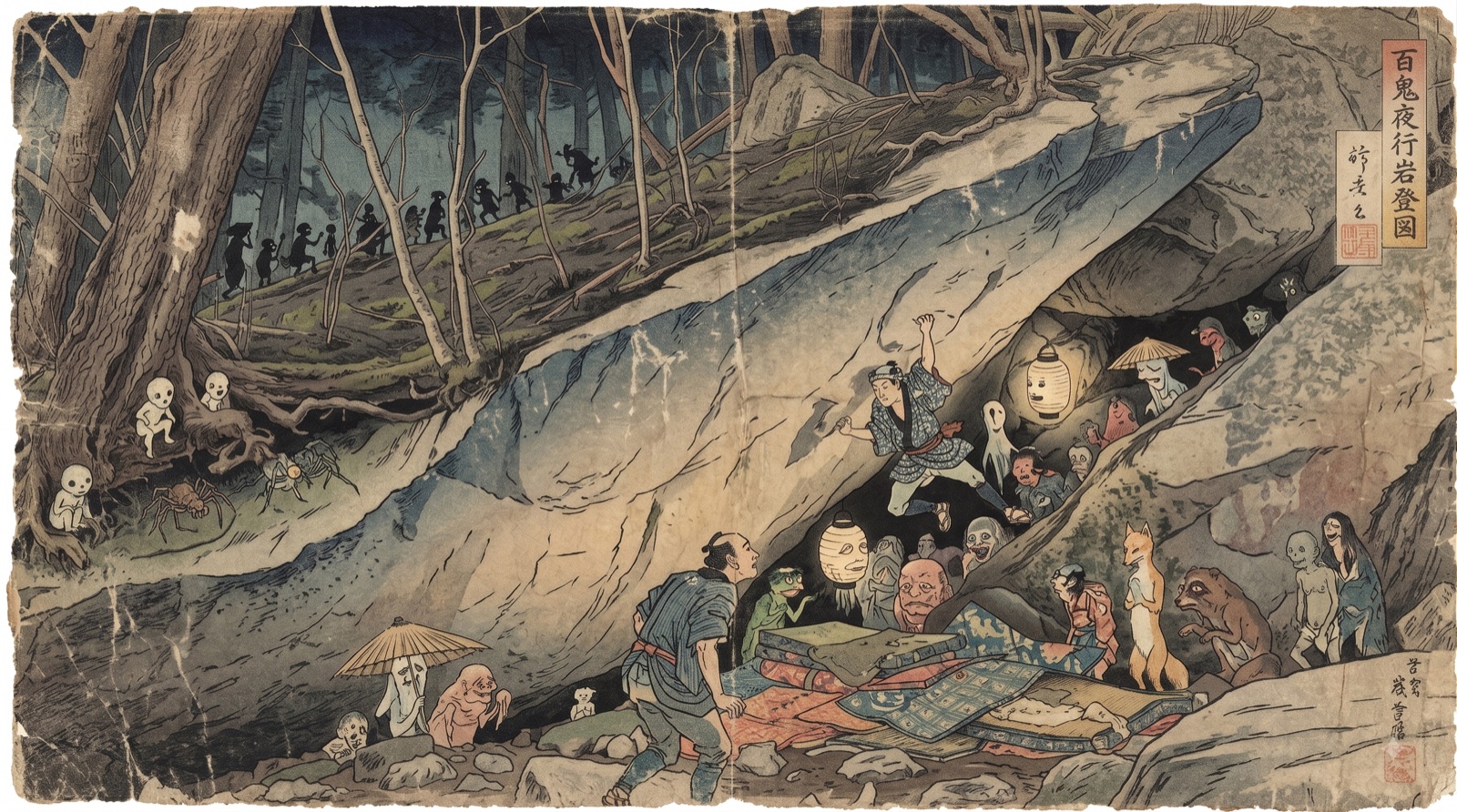
Rough granite, real landings
Blocks are spread through the forest rather than gathered in one sector, so walking between them eats the day. Plan fewer problems than you would at a roadside crag.
The granite is coarse and skin-hungry: slabs, aretes and plenty of highballs. Landings slope, hold roots and often sit above a drop.
Grade converter →A short, high-country season
Snow closes the forest early and holds on late. Autumn is the reason people come.
October is the month people plan their trip around: cold nights, dry granite and the forest turning colour. Spring is quieter but wetter underfoot, with snowmelt keeping shaded blocks damp well into May.
Build in a spare day. One bad-weather day out of three is normal here.
Moss holds water, canopy blocks the sun and shaded blocks seep for a day or two after a wet spell. Sunlit slabs come back first, so plan a "dry day" circuit rather than assuming the whole forest is out.
The approach trails turn to mud — take shoes you do not mind ruining.
The altitude does the work. Even in August it is climbable in the shade, and by October the mornings bite. Pack as if for a mountain, not for a Tokyo autumn.
Camping in late season without a proper bag is a genuinely miserable mistake.
Opening dates shift year to year with snow and roadworks, and a closed forest road turns a two-hour drive into a wasted day. Confirm the current season dates before you book trains, a car or accommodation.
Winter closure is not a suggestion — the road is genuinely impassable.
Mizugakiyama is a popular hiking mountain, so autumn weekends bring full car parks and busy trails long before the boulders get busy. Midweek is dramatically quieter and the walk-ins feel like a different place.
Golden Week and Obon are the two weeks to avoid entirely if you can.
Tokyo to the nature park
Expressway west out of Tokyo, then a long climb on mountain roads. The final stretch is narrow with blind bends and occasional forestry traffic; give yourself daylight for the first drive up.
The limited express is roughly twice as fast as the local for a reserved seat and a supplement; with pads and a rack, it is worth it. Nirasaki is the last place with a supermarket, an ATM and reliable phone signal.
Outside the bus season the only public option is a taxi from Nirasaki, which is long, expensive and needs booking in advance — there is no rank waiting at the trailhead for the return leg.
access map: Nirasaki to the nature park
Where to leave the car
Free beta. Parking is the single fastest way climbers lose an area.
Use the nature park or campground lots. A car left on the verge blocks the road for a fire truck, and that is the argument that closes crags fastest in Japan.
Read this before the lot list
The forest road must stay clear for residents, forestry vehicles and rescue. A car left on the verge blocks the road for a fire truck — the argument that closes crags fastest in Japan.
Blue = official lots · verges are never OK
Numbers match the cards below — tap a card to fly to its pin. Lot 3 has no published coordinates, so it appears in the list but not on the map. The never-park zones are the forest-road verges: they run the whole length of the approach, so there is no single pin for them. Switch to Satellite to see the lot surface.
Official lots around Mizugaki
Every boulder you touch here stayed open because a first generation of local climbers did the hard, patient work — developing problems, and building trust with landowners and local government one conversation at a time. "I didn't know, I'm from abroad" changes nothing for the neighbours: to them, it is simply a climber breaking the rules. Please follow every area rule without exception.
You are climbing inside a national park
Mizugaki is protected land shared with hikers and mountaineers. The five national rules apply in full — these three are what the forest cannot survive without.
Moss and shallow root systems die under repeated footfall, and at this altitude they do not grow back within a climbing generation. Every desire path between two boulders is visible from the hiking trail and is read as damage caused by climbers.
Walk the longer way round. Follow existing tracks even when they double the approach.
Inside a protected area, cutting vegetation is a criminal matter rather than an etiquette question — including the sapling in your landing zone and the branch across the topout.
If a line needs the forest altered to be climbable, it is not a line.
Tents in the forest, vans parked overnight at trailheads and open fires are all reported quickly here, and each report costs the climbing community standing it cannot easily rebuild.
Pay the campground fee. It is the cheapest access insurance available.
Take the whole topo with you
Everything on this page stays free. The packs add the problem data, coordinates and offline maps you cannot carry from a web page.
For the strong and the curious
Not a sales pitch — just what the locals are trying when conditions come good.
When the rock is wet
Free beta. Nearest gym, a bath, and one thing worth seeing on a rest day.
When Mizugaki is quiet
A local-feel estimate, not a live feed. Replace each cell with Quiet / Moderate / Busy.
Three things you cannot fix on arrival
Without the permit there is no car, and without a car Mizugaki becomes a logistics puzzle involving seasonal buses and expensive taxis. Sort it the week you book the flight.
Renting a car in Japan →Download offline maps of the whole approach area while you still have data in the valley. Once you are on the forest road, assume you are on your own.
Which eSIM works for climbers →Check the policy names climbing, covers rescue and transport, and does not exclude "mountaineering" in a way that swallows bouldering in a national park.
Compare policies →Carry it in, carry it out
No pad? Rent one here
Rent at the trailhead base camp or on the drive in — no need to haul a foam pad from Tokyo.
Camp high, resupply low
Nobody is coming quickly
Want the full logistics for Mizugaki?
Two packs, one area at a time. Take the whole area, or buy all three Kanto areas together at a discount.
pack thumbnail